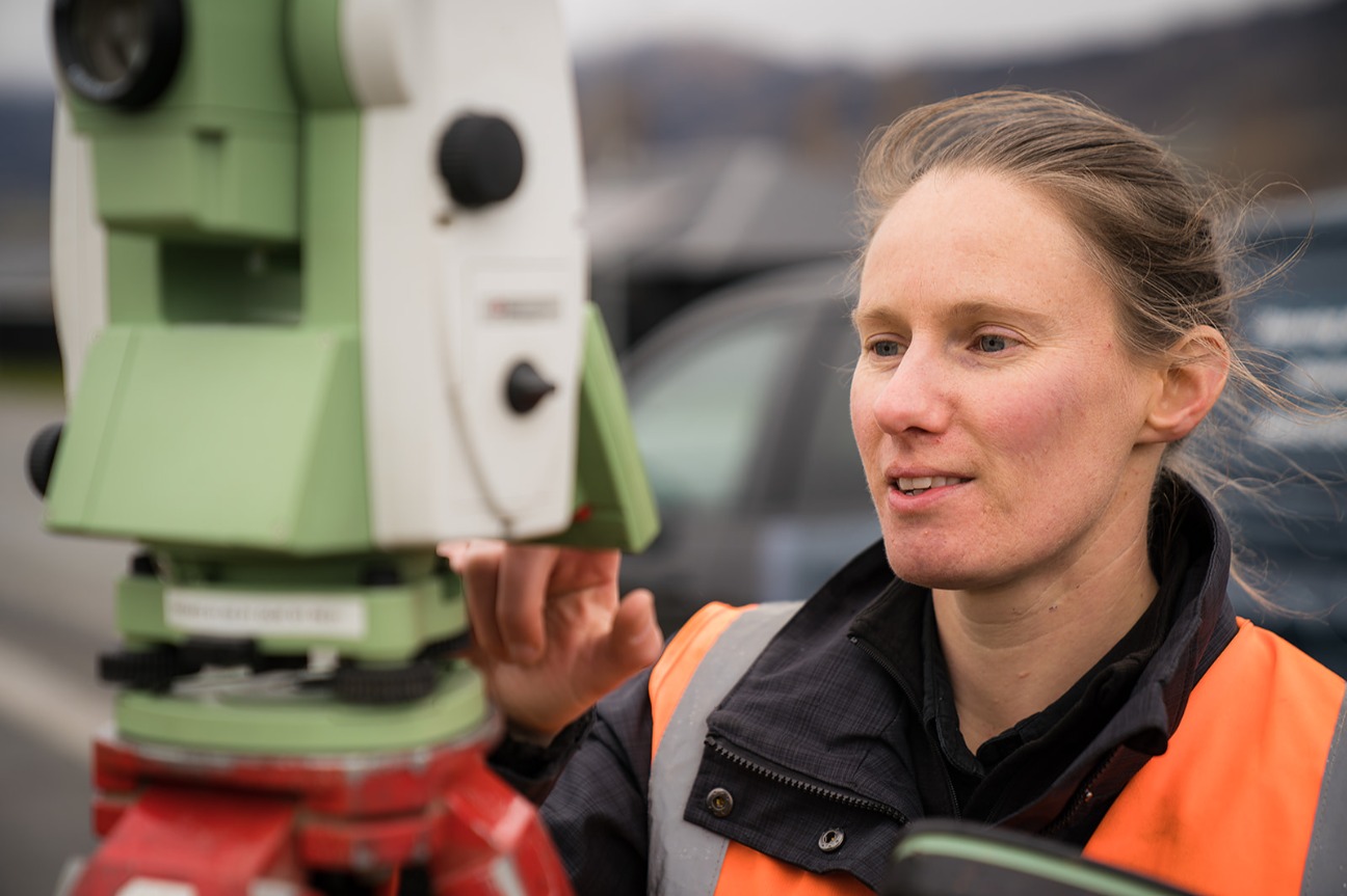
NewsDriving Excellence: Landpro Recognised for Technology and Health & Safety AchievementsNovember 18, 2025
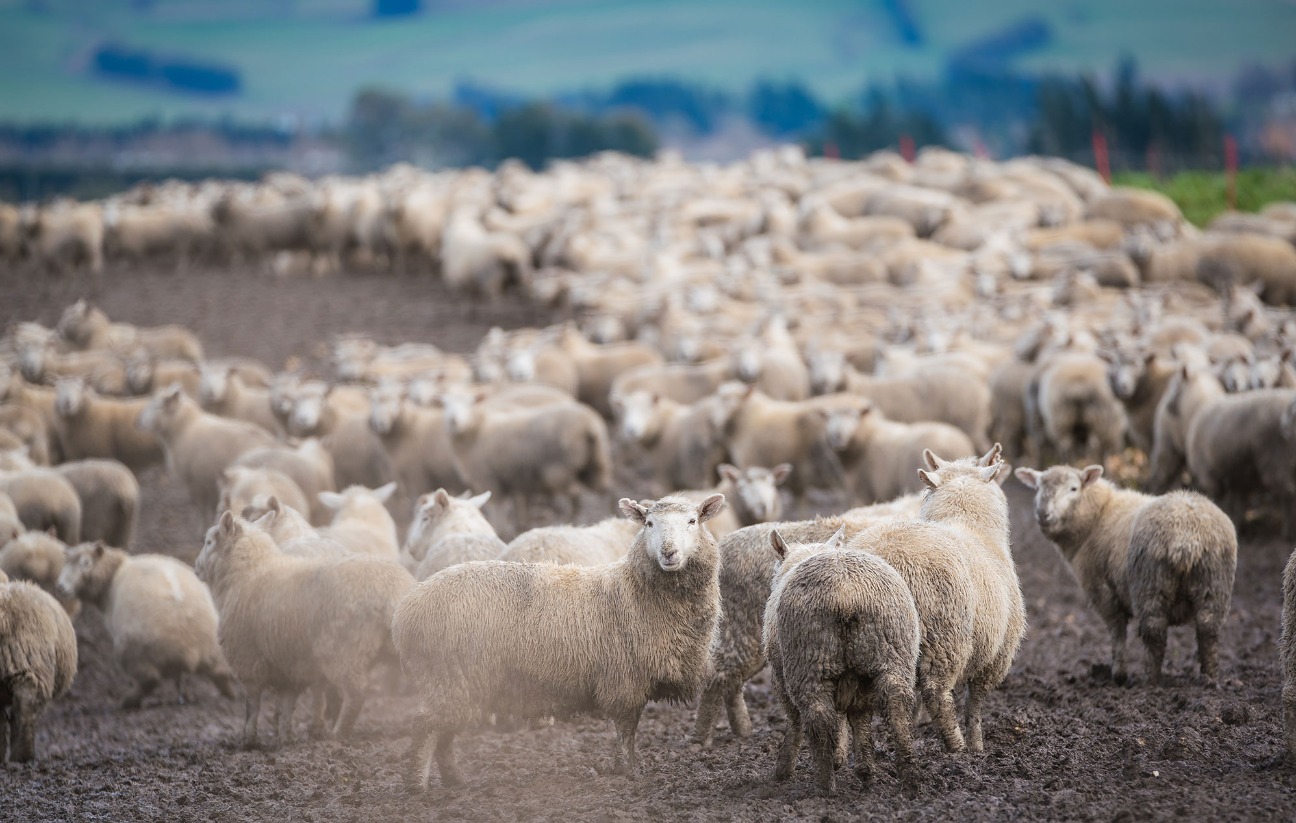
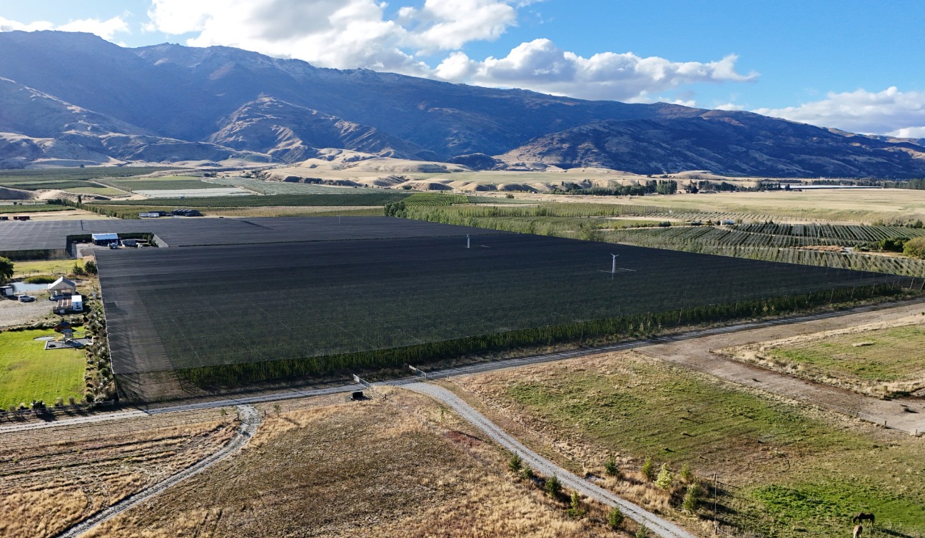
NewsSunflowers, Sustainability and Sheep: Enhancing Regenerative Farming Practices on Tinwald Farm December 11, 2023
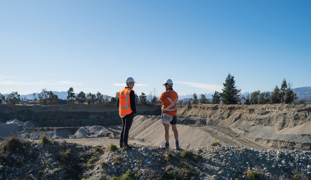
NewsExpanding a Quarry in Central Otago: Striking a Balance between Environmental Sustainability and Aggregate DemandNovember 28, 2023